IDV Robotics deploys computer vision for GPS-denied autonomous navigation
The ATLAS navigation system utilizes synthetic data and probabilistic filtering to enable uncrewed ground vehicles to operate in contested environments without satellite signals.
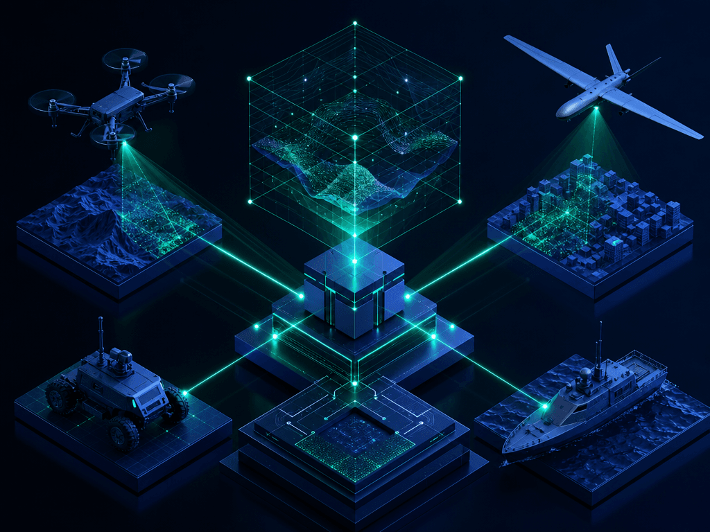
IDV Robotics has developed a proprietary navigation architecture that allows uncrewed ground vehicles to maintain operational autonomy in environments where global positioning satellite signals are unavailable or compromised. The system, known as ATLAS, functions as a core component of the broader MACE software suite, which governs the sensor fusion and compute requirements for the company’s robotic platforms.
Dr. Geoff Davis, managing director of IDV UK, characterizes the MACE framework as the primary intelligence layer that integrates heavy compute resources with onboard sensor arrays. The navigation logic within ATLAS draws inspiration from manual map-reading techniques, utilizing pre-processed spatial data rather than relying on external signal triangulation. This approach ensures that vehicles remain functional even when electronic warfare measures render conventional satellite navigation unreliable.
The technical implementation begins with the ingestion of aerial or satellite imagery, which is processed through convolutional neural networks to classify terrain features. Andrew Maloney, head of technology and chief engineer at IDV Robotics, notes that this imagery is converted into polygon boundaries to optimize data storage within a local spatial database. By compressing these environmental features into a memory-efficient format, the vehicle carries a persistent map of road edges, buildings, and topographical landmarks.
During active operation, the vehicle employs a probabilistic filter to compare real-time camera input against the stored spatial database. This process evaluates thousands of potential positional hypotheses simultaneously, allowing the system to achieve accuracy within ten centimeters in optimal conditions. The architecture is designed to remain stable even when the physical environment deviates from the stored map, as the filter dynamically reconciles discrepancies between perceived reality and historical data.
The perception engine utilizes advanced computer vision pipelines that have matured significantly since 2014, leveraging modern hardware acceleration to process high-resolution video feeds in real-time. By running these models on specialized hardware, the system can perform complex object detection and terrain classification without the latency typically associated with cloud-based processing. This edge-computing capability is essential for maintaining the high-frequency updates required for safe autonomous movement in complex, unstructured environments.
The system also supports manual initialization in scenarios where the vehicle lacks a starting reference point. Operators can provide a grid coordinate or select a location on a digital map, allowing the algorithm to converge on an accurate position through iterative visual verification. This design prioritizes passive operation, ensuring that the vehicle does not emit signals that could be intercepted or geolocated by adversarial forces.
Integration with existing battle management systems, such as the Tactical Assault Kit, allows these autonomous platforms to function as nodes within a broader digital targeting network. The software facilitates the autonomous detection of targets via ISTAR payloads, which can then be transmitted as compressed data bursts to human operators. This capability effectively transforms the vehicle into a mobile sensor platform capable of autonomous surveillance and target acquisition without requiring constant communication links.
The development of the underlying perception models relies heavily on synthetic data generation to overcome the scarcity of real-world training sets. Engineers at IDV Robotics utilized simulated environments to train neural networks on diverse lighting, weather, and terrain conditions, successfully enabling the system to identify objects like tanks in the field without prior exposure to physical prototypes. This reliance on synthetic training underscores the shift toward localized, edge-based intelligence that minimizes the need for external data connectivity.
The strategic shift toward GPS-denied autonomy reflects a broader industry recognition that contested electromagnetic environments are the baseline for modern operations. By decoupling navigation from satellite reliance, the platform maintains operational integrity while reducing the risk of detection. Future iterations of the MACE architecture will likely focus on enhancing the interoperability between these autonomous nodes and the wider digital backbone used by allied forces.